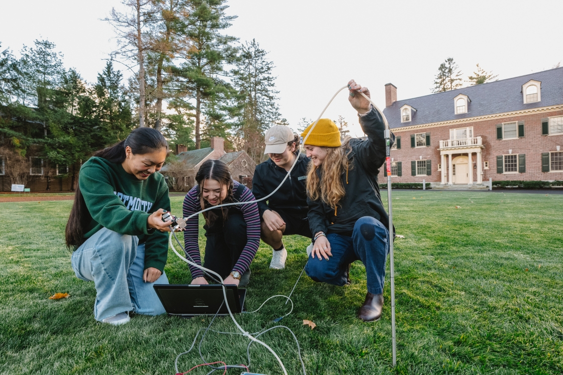
Dartmouth’s premier electronic archaeologist and Neukom Fellow Jason Herrmann recently assembled about 30 like-minded scientists for a conference dubbed Digital Domains. They engaged an audience of nearly 80 colleagues, students, and other attendees, discussing and debating the application of remote sensing technologies to past human landscapes. This includes new and developing data collection approaches such as close-range photogrammetry (making measurements from photographs), LiDAR (measuring distance by laser-illuminating a target and analyzing the reflected light), and the use of unmanned aerial vehicles or drones.
“The proliferation of digital mapping techniques has not only transformed the way archaeology is conducted in both the field and laboratory, but it has caused a fundamental shift in the types of research questions being asked,” says Herrmann.
Read more:The international scholars spoke of the various remote sensing methods employed in investigating archaeological landscapes ranging in scale from a single archaeological site to an entire ecosystem or culture area.
Following are a few examples from the digital diggers.
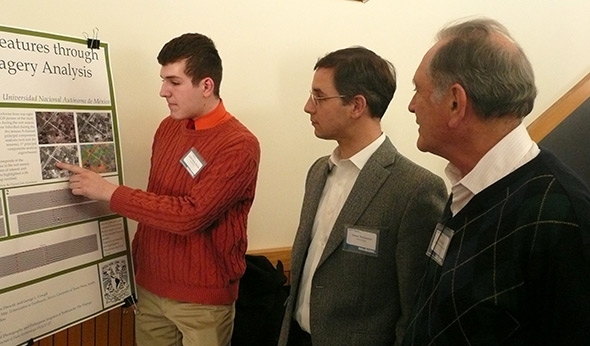
- Luis Barba of the Universidad Nacional Autónoma de México covered the range of methodologies he employs in Mexico, from digital processing of satellite images, magnetic and electric geophysical techniques, to the detection of human settlement remains through soil analysis.
- Dartmouth’s Alan Covey discussed the Inca Empire of southern Peru, focusing on the thousands of miles of roads the Incas built. Covey and his colleagues employed archaeological settlement-pattern data, GIS, and satellite-based remote sensing to study the road network and settlement ecology of an area northwest of the ancient Inca capital city of Cuzco.
- Elizabeth Stone of Stony Brook University provided a glimpse of urban settlement systems in southern Mesopotamia between the fourth and first millennia B.C. and a survey of changing settlement patterns over time based on both excavated and satellite-derived data.
- Jason Ur of Harvard University and Bjoern Menze of the Technical University of Munich told of merging black and white photographic data from the declassified military satellite CORONA and multispectral imagery from the ASTER satellite with intensive systematic surface collection at two sites in northeastern Syria.
Digital Domains was funded by the Neukom Institute for Computational Science with support from the Department of Anthropology.