Students enrolled in the class “How the Earth Works” are coming together remotely this term to learn about the geologic history of the Upper Valley. They are joining up from as far away as New Zealand and South Korea to study the local landscape and look for clues of the planet’s evolution since the last ice age. But the students are not able to physically tour the area, so the faculty are bringing the Upper Valley to them.
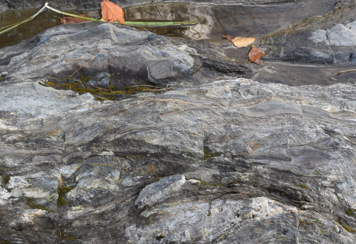
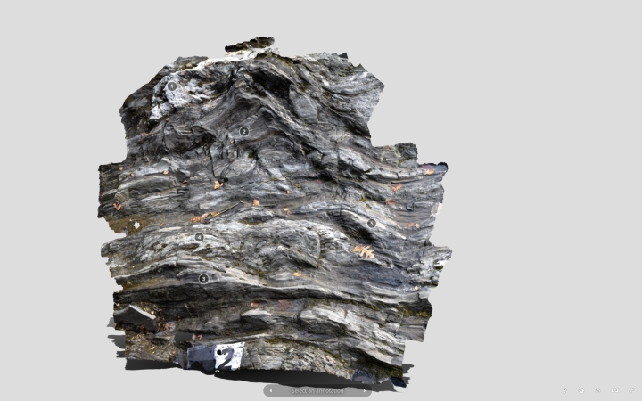
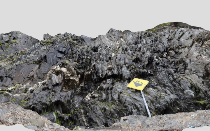
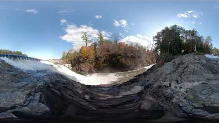
Through the use of an online “virtual lab,” students in the introductory earth science class are able to reconnect with campus environs. With digital tools such as 3D renderings, they can experience a 460-million-year-old lava flow behind Fairchild Hall, a 360-degree video of Quechee Gorge, and interactive depictions of Occom Pond that include a virtual reality tour.
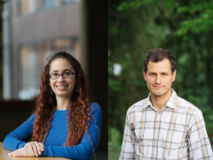
“Our teaching environment is different, but learning continues,” says Sarah Slotznick, an assistant professor in the Department of Earth Sciences and co-teacher for the earth science class. “It’s really fun seeing the students work together and bridge the distance of online learning.”
In ordinary times, students would take trips that tell the story of how the continental ice sheet retreated from the Upper Valley over 14,000 years ago. Students would visit Pine Park, Union Village Dam, Quechee Gorge, and other geological sites. During the visits, they would study sediments, rock formations and streams to learn the principles of the Earth’s physical processes.
For this year’s class, spring quarter 2020 will be remembered as the term that “EARS1” went virtual.
“Online class is pretty much a just-in-time operation right now,” says Edward Meyer, a senior lecturer in the Department of Earth Sciences and co-teacher of the course. “We are fortunate to have resources to bring the students together and try to recreate the lab work and field visits that are so vital to this class.”
The digital assets were originally produced under a Neukom Institute CompX grant to assist students who are unable to visit the field because of mobility limitations. The material also helped class members recall features from sites without having to take additional trips.
Now the tools are being used to bring the Upper Valley’s geological landmarks to students spread out across the country and the world.
Slotznick and Meyer had to reimagine the lab course as an online offering. This forced them to make even greater use of the digital tools built up over the last few years by Meyer and Meredith Kelly, an associate professor of earth science who helped design the original class.
“We already used these online resources in past classes, but it’s especially nice to have them available now,” says Meyer. The team also credits Jonathan Chipman, director of the Citrin Family GIS/Applied Spatial Analysis Laboratory, for securing the original funding and helping build the media material.
Digital assets produced in Hanover’s Pine Park are the most complete, so the co-teachers will focus on that module for this term’s “class trip.” Students will also have access to assets from all of the other field sites to complement their studies.
Since the class won’t need to travel by vans to visit the sites this quarter, Slotznick and Meyer were able to expand enrollment by 15 students for the spring term.
The teaching duo recognizes that the online resources can not entirely replace the experience of physical field trips and lab work, but they hope the class helps strengthen the connection between the students and the natural environment. They also hope to retain the same sense of community that builds during the normal field visits.
“Dartmouth is located in a special place that provides opportunities to learn together about our local geology. We are working hard to keep that connection alive,” says Slotznick.
David Hirsch can be reached at david.s.hirsch@dartmouth.edu